This is the first phase of oil and gas projects.
Oil and gas explorers begin by examining the local geology. They assess if it is likely to have the kinds of rocks that can produce oil and gas and can form reservoirs that can hold oil and gas.
They then use technology, such as seismic surveys, to detect whether the rocks are likely to contain oil and gas deposits and how large these deposits are likely to be. This helps specialist geologists determine where and how deep to drill a well.
Oil and natural gas is usually found deep underground, so companies use a range of techniques to determine the best place to drill. As drilling is a capital-intensive process, companies invest in advanced science and engineering during the exploration phase.
If interpretation of survey results shows it is likely that oil and gas deposits exist in a particular area, an exploration well can be drilled.
During and after the drilling of an exploration well, tests are conducted to give a clearer picture of whether oil or gas is present and if it can be commercially recovered.
Read more about exploration by clicking on the links below.

Seismic surveys
Companies use seismic surveys to produce detailed images of local subsurface geology to determine the location and size of possible oil and gas reservoirs.
Explorers generate seismic (sound) waves and measure the time taken for the waves to travel from the source, reflect off subsurface features and be detected by receivers at the surface. This can help build an image of the subsurface.

Environmental impact of seismic surveys
Seismic information is used to accurately plan locations for wells, reducing the need for further exploration and minimising environmental impact.
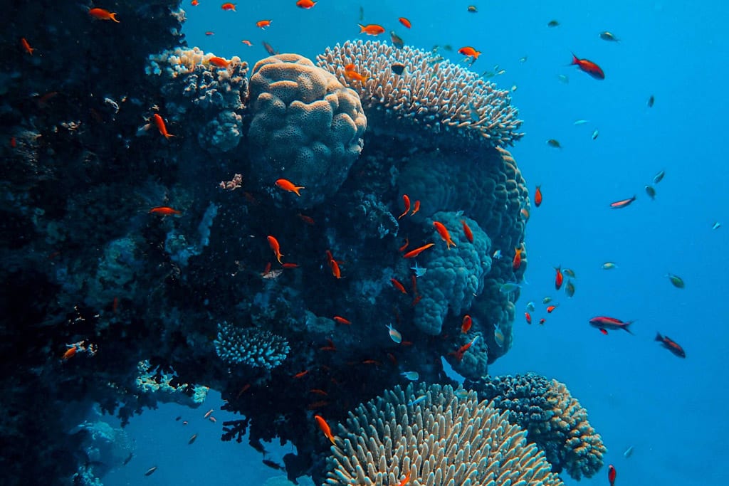
More than four decades of seismic surveying and numerous research projects – including research conducted by CSIRO and the Australian Institute of Marine Science – have shown no evidence that offshore seismic surveys harm marine environments or fishing catch rates.
